We love data! Virtually all data in your organization has a spatial component. GIS provides the ability to leverage your spatially enabled data to drive greater operational efficiencies. Whether you need data collection, migration, analysis, or conversion, we can help you get there.
Some of the services we offer are as follows:
ArcGIS Pro migration & training
Database design, development, and management
Data migration
NG911 database design and data migration
Infrastructure mapping
Utility easement mapping
Needs assessments and strategic planning
Web mapping/web application development
GIS training
Portfolio
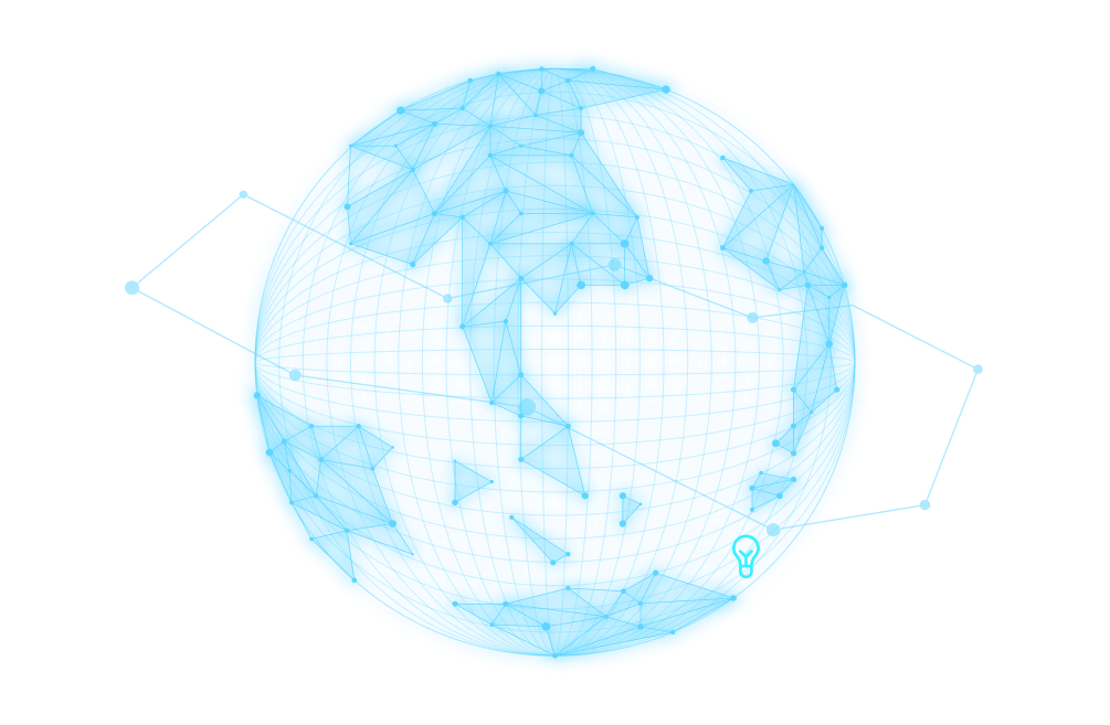
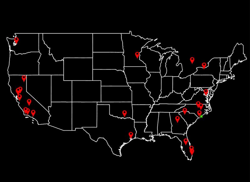
We work with clients virtually...anywhere
Project impact
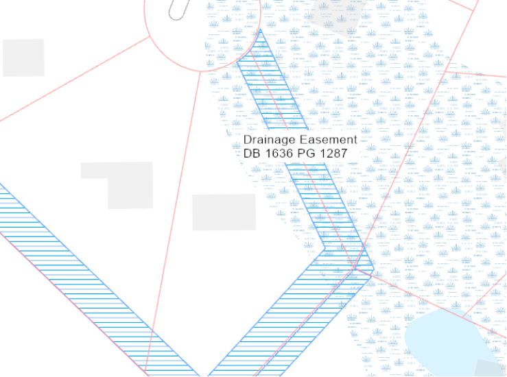
Do you know where your easements are?
Easements are the lifeblood of utility systems maintenance. If your organization manages water, sewer, drainage, or gas distribution systems, we’ve got your easements covered. We have pioneered the use of modern AI tools to bring profound efficiencies to the easement mapping process. We have transcribed nearly 1 million acres of easements from legal descriptions into digital boundaries using these proven techniques. Call us today and let us demonstrate.
About Us
Jim Sahlie, PE, GISP
SolisGIS provides a wide range of Geographic Information System (GIS) services to local and state government agencies, utility authorities, and the private-sector GIS community. We specialize in implementation, maintenance, data design and collection, and GIS analysis.
We have over 3 decades of GIS experience. Let us put our experience to work for you.